Recently Conserved Land
2024
Whiskeag Field ~ Bath
10 acres, conserved in April 2024
Can be accessed by parking at the adjacent Sewall Woods Preserve; no public trails at this time.
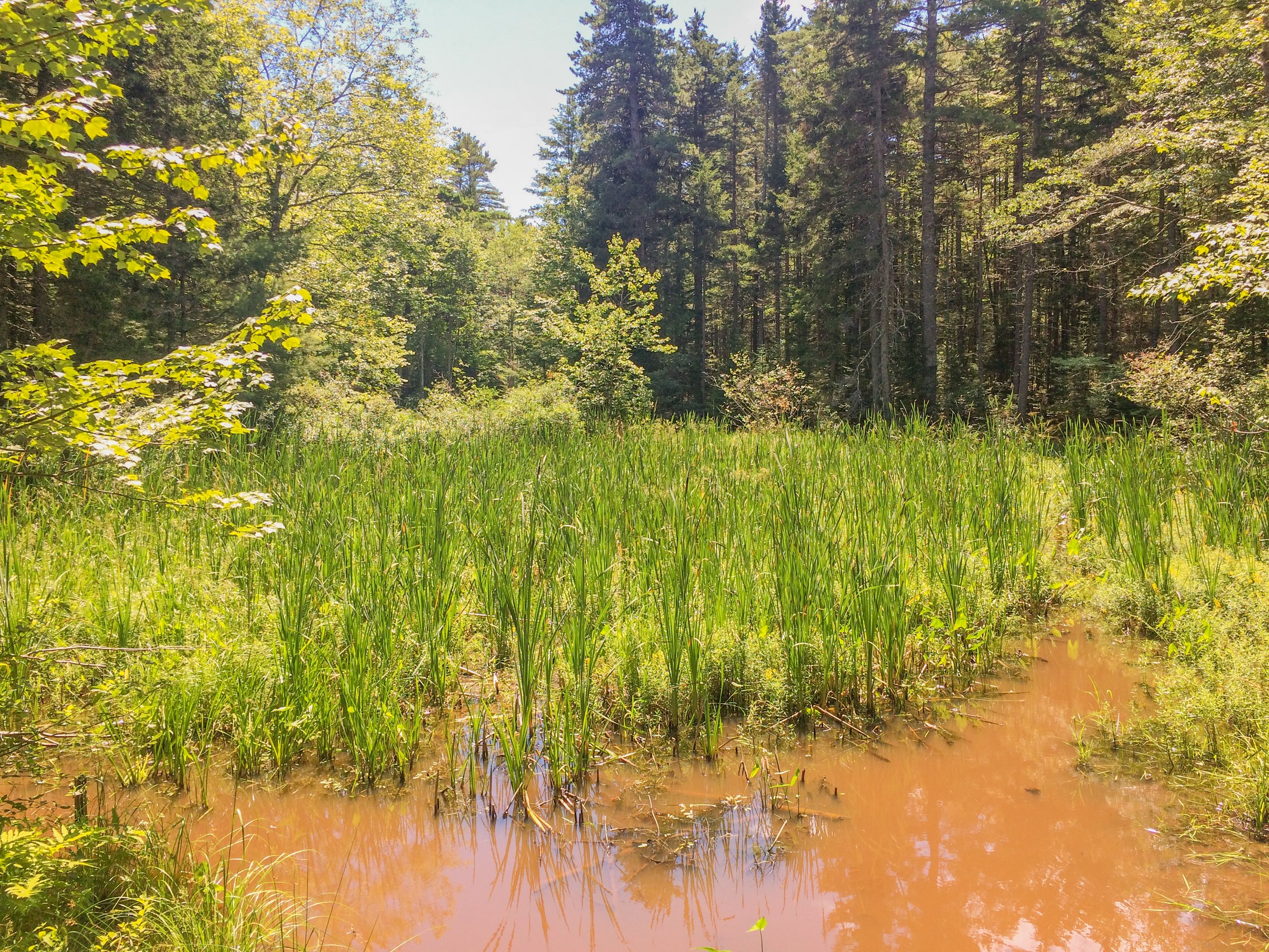
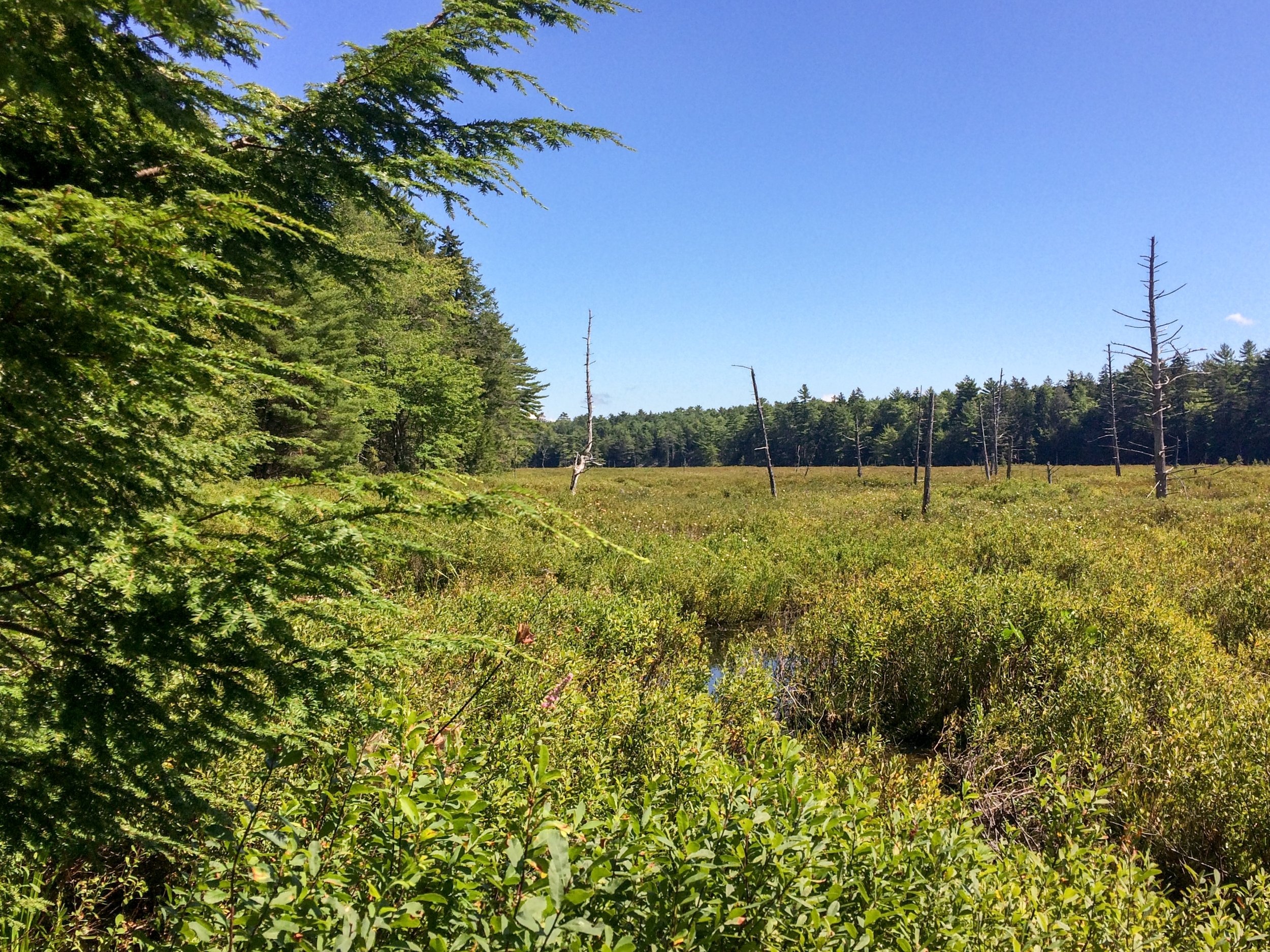
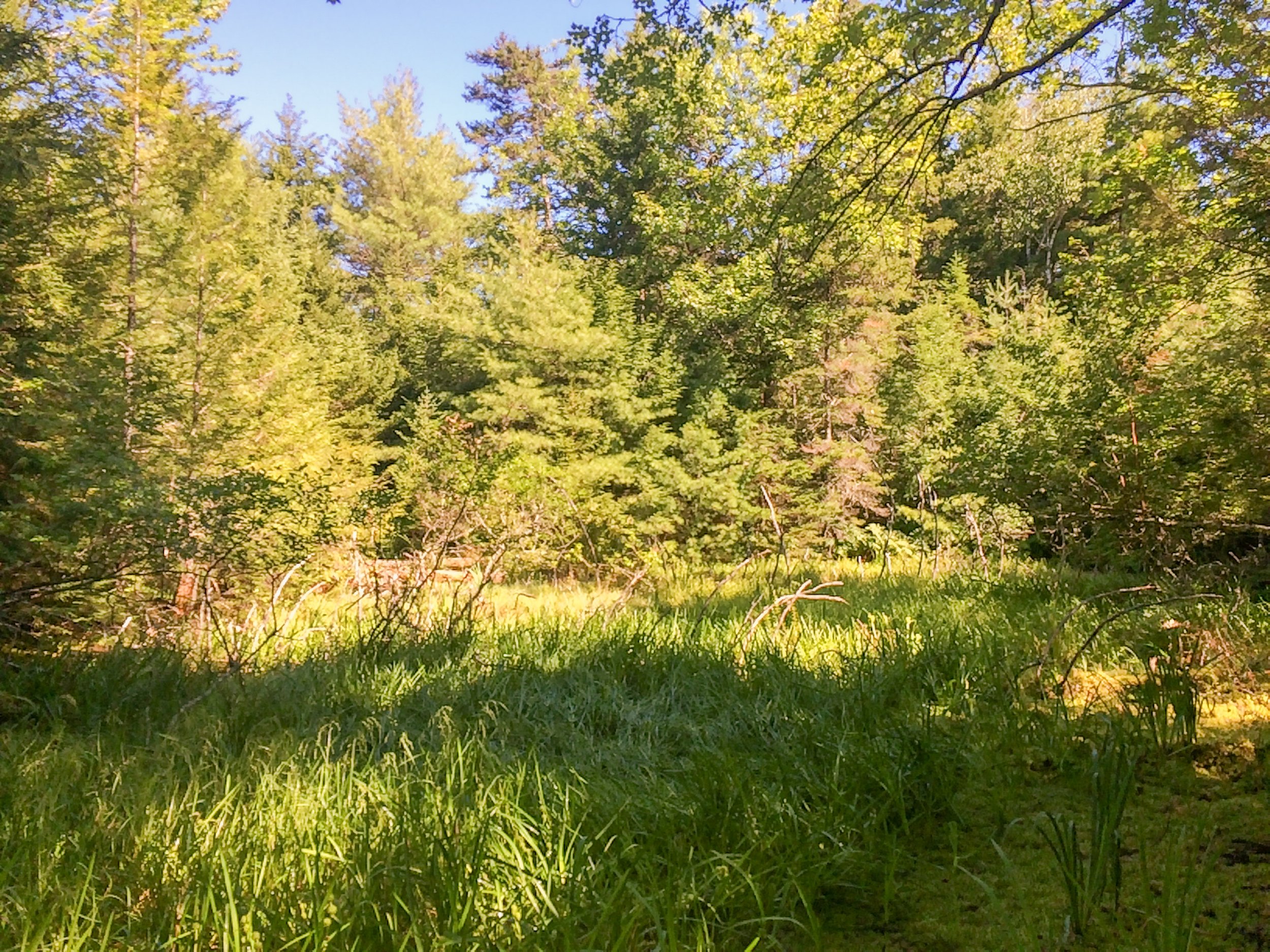
The Whiskeag Field Project is entirely possible thanks to the Bath community! The story began in September of 2023, when this beautiful property abutting KELT’s Sewall Woods Preserve went on the market. Neighbors came to KELT and asked how we could collaborate to conserve the parcel out of passion for preserving Bath's natural spaces. KELT moved quickly to place the parcel under contract. Thanks to generous community and business donations as well as grants, we were able to close on the property in April.
Due to the community-driven nature of this project from its inception, we will be offering a public engagement period to discuss the next stage of the project, during which we want to hear your ideas about how this field and forest can best serve the Bath community. Make sure you’re signed up for our email updates to be involved in this process!
Middle Road Forest ~ Woolwich
44 acres, transferred to KELT in March 2024
No public trails or parking area currently.
KELT was delighted to acquire Middle Road Forest, 44-acres of undeveloped land with community conservation values through a fee donation from Maine Coast Heritage Trust.
Middle Road Forest is adjacent to Back River Creek Marsh, a 127-acre marsh owned by the Maine Department of Inland Fisheries and Wildlife. The project parcel and MDIFW parcel are separated by an active railroad corridor. Approximately 10-acres of forest on the parcel exhibits mature forest characteristics, and these acres abut the railroad corridor closest to the marsh along the eastern side of the property.
Despite the railroad corridor, some of the ecological services unique to the mature forest to marsh interface are still provided, including providing habitat for birds and improved water quality for the riparian ecosystem.
2023
Burroughs Parcel ~ Bowdoinham
11 acres, conserved in December 2023
Added to KELT’s Center Point Preserve
We are delighted to be able to permanently steward these 11 acres on Merrymeeting Bay donated by Franklin and Susan Burroughs, longtime Bowdoinham residents and local conservationists. Franklin Burroughs, the author of numerous essays about the region and the book Confluence: Merrymeeting Bay, shared the following about the parcel:
“The parcel is relatively small— 11 acres. But in conjunction with other parcels donated to KELT on Center Point, it allows for a fine, quiet walk through a variety of habitats. These include a red maple swamp with an active beaver colony that has created and extended a backwater much favored by wood duck and hooded mergansers. Beyond it there are predominantly red oak and white pine uplands that look eastward over Merrymeeting Bay toward the Chops, Brick Island, and the mouth of the Androscoggin river. They afford some of the most handsome overviews of the Bay, and are utterly private. At the southern extremity of the property, there are fine views of the mouths of the Cathance and Muddy Rivers, with their wide marshes of wild rice and sedge.
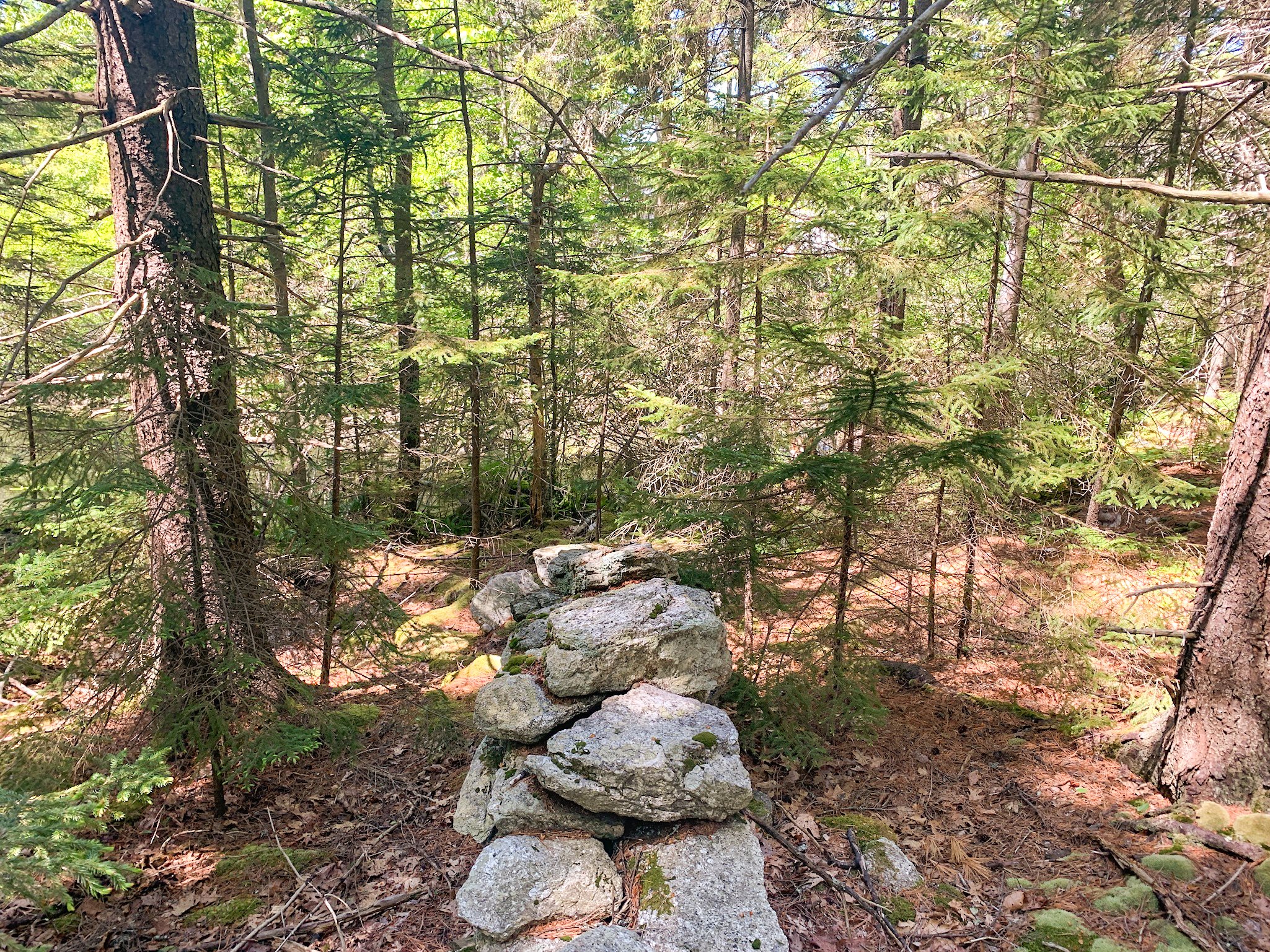
This is an old part of Bowdoinham, settled more than half a century before the American Revolution. A visible remnant of that settlement is the row of big red oaks that run along a ragged stone wall at the northern end of the property. They mark an old property line.
Many species of ducks can be seen in the fall and spring, along with Canada Geese, coots, mergansers, and cormorants. Eagles are present all year round; peregrines, sharpshins, and red tailed hawks show up in the spring and fall, and osprey are common in the summer. Seals may appear at any time from ice out in the spring until it freezes in late December.” -Franklin Burroughs, 2023
Ireland Parcel ~ Bath
4.3 acres, conserved in November 2023
Will improve access to KELT’s Lily Pond Community Forest & protects Berry’s Mill Pond
The Ireland property is an exciting new addition to KELT’s portfolio of Conserved Land in Bath. This 4.3 acres parcel was donated to KELT by Anne Ireland and Ken Cole, and protects about 1200’ of shoreland along Berry’s Mill Pond, a tidally restricted pond historically popular with quahog harvesters.
In addition to protecting forested habitat and salt marsh, the property will significantly improve access to KELT’s Lily Pond Community Forest. A small parking area will be built on the parcel to allow public access to the west side of the Graves Preserve, providing expanding access to this extensive trail network!
“We’re happy to preserve this frontage on Mill Pond for KELT’s ongoing conservation purposes!” - Anne Ireland
Crawford Creek ~ Bath
20 acres, conserved in June 2023
No public trails or parking area currently.
The conservation of the Crawford’s Creek property has been a multi-year process, and we were delighted to finalize it in June of 2023! Along with Thorne Head and Butler Head Preserves (upon which KELT holds a conservation easement), the preservation of Crawford’s Creek allows for the protection of a third major head of land in northern Bath along the Kennebec River. Other conserved land in close proximity are KELT’s Varney Island and Varney Cove Preserves and Dept. of Maine Inland Fisheries & Wildlife’s Lines Island directly across the western channel.
Despite its close proximity to the city of Bath, the Crawford’s Creek parcel holds significant value as wildlife habitat. A bald eagle’s nest has previously been located on the eastern shoreline of the property, and the parcel includes almost 7 acres of estuarine intertidal wetland along the creek and its confluence with the Kennebec River. Identified by the Maine Natural Areas Program as a part of a freshwater tidal marsh, the parcel protects important tidal waterfowl and wading bird habitat.
The conservation of this parcel was possible thanks to the generosity of Judith and Thomas Barrington, the former landowners. As one of the founders of the Lower Kennebec Regional Land Trust (the organization that became KELT in 2009), Tom was eager to see this parcel placed under KELT’s protection and worked diligently to see the process through.
Beaver Pond ~ Westport Island
45 acres, conserved in April 2023
No public trails or parking area currently.
The conservation of this parcel ensures the preservation of more than 2,000 feet of shoreline along Beaver Pond, the largest freshwater pond on Westport Island! Originally created as a commercial ice pond in the 1880s, Beaver Pond offers freshwater wildlife habitat across 9 acres and hosts a leatherleaf boggy fen along its shoreline.
In addition to the preservation of the pond, this parcel protects other important wildlife habitat on Westport Island. Significant vernal pools, deer wintering areas and an estuarine intertidal wetland that transitions into a spartina saltmarsh have all been identified on the parcel by state conservation agencies. Beaver Pond Preserve also is bordered by more than a half-mile of road frontage ensuring that there can be no future development along this edge of roadway, which could threaten the preserve’s valuable wildlife habitat.
KELT staff are in the process of assessing the potential for low-impact trails and parking options for public access to the property. The Stewardship Committee will evaluate recreational uses for this property, taking into consideration the sensitivity of the wetlands and the durability of the soil types. Horses are not permitted on the property.
Brick Island ~ Bowdoinham
8 acres, transferred to KELT in March 2023.
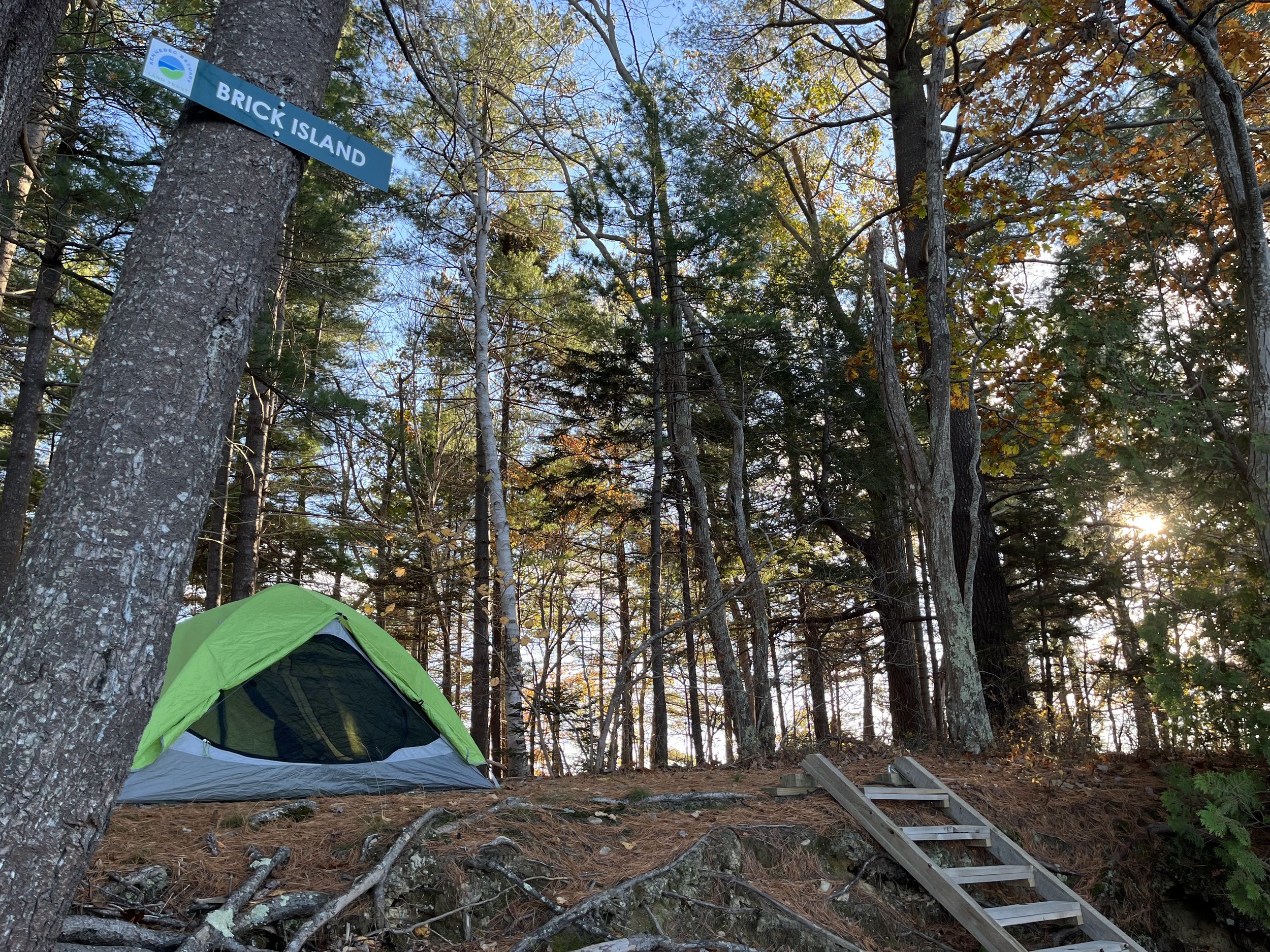
Three low-impact campsites and a connecting trail.
Ownership of Brick Island was transferred to KELT from Maine Coast Heritage Trust. The conservation of the island adds 8 acres to our conserved lands portfolio, and it also adds a new opportunity for visitors to our preserves: three campsites are available on the island for visitors to enjoy low-impact camping! The stewardship of Brick Island is shared with the Maine Island Trail Association, an organization that maintains over 250 island and mainland sites along the Maine Island Trail that spans the coast from New Hampshire to Canada.
Brick Island has been a popular spot for picnicking and camping for generations and it has been part of the Maine Island Trail since 2015. The island is accessible by motorboat, kayak, canoe, paddleboard, rowboat, and sailboat. There are currently three campsites on the island: an east site with a recommended capacity of 8 people, a center site with a recommended capacity of 6 people, and a west site with a recommended capacity of 12 people. The campsites are connected by a low-impact trail. There is no reservation system for the campsites and they are available on a first-come, first-served basis between the months and July and October.
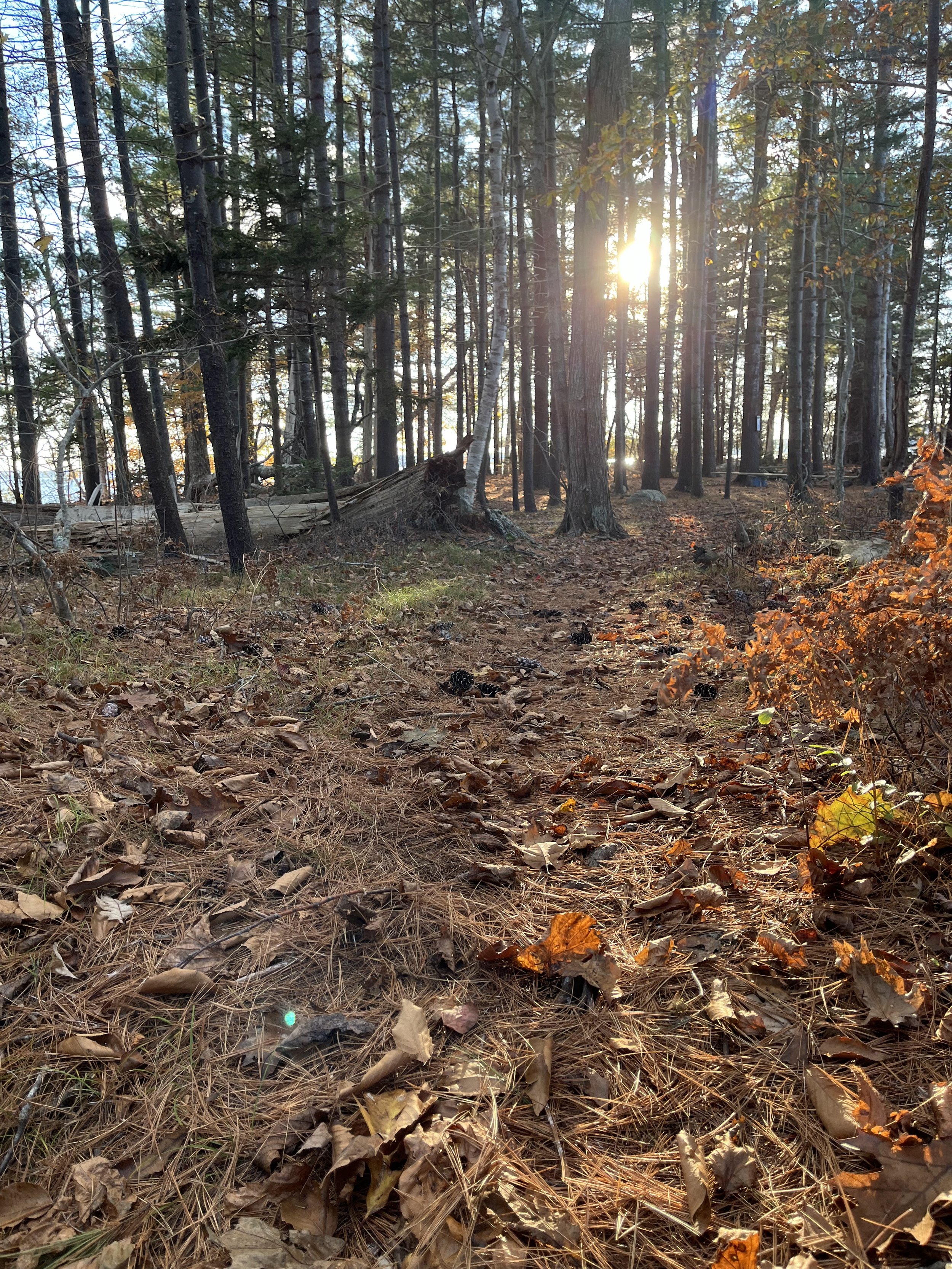
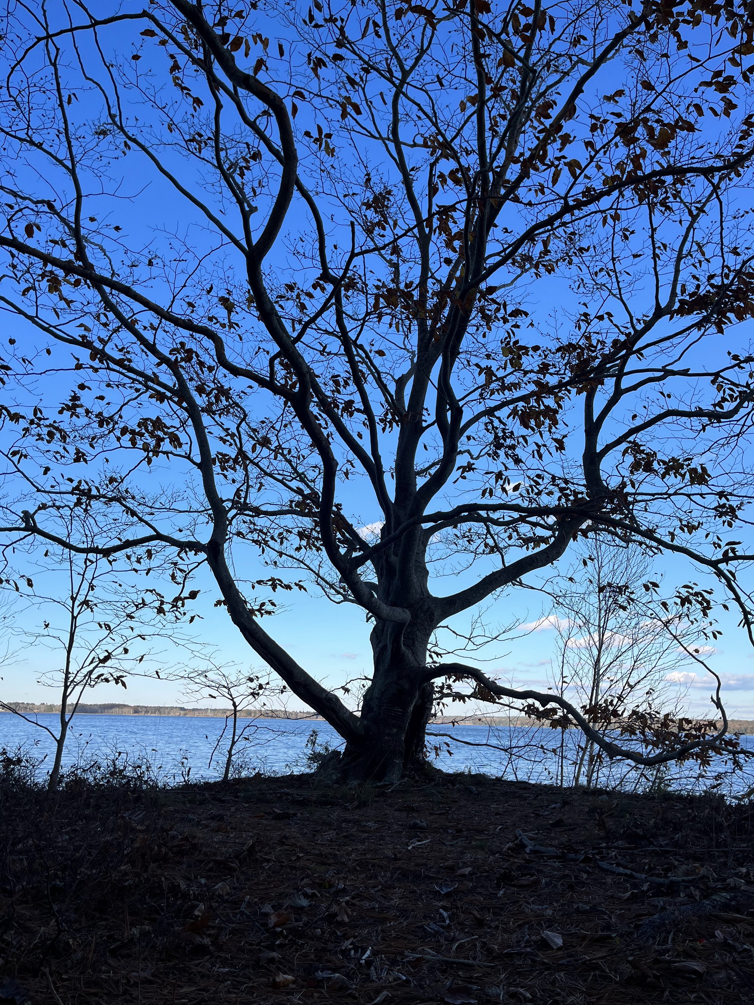
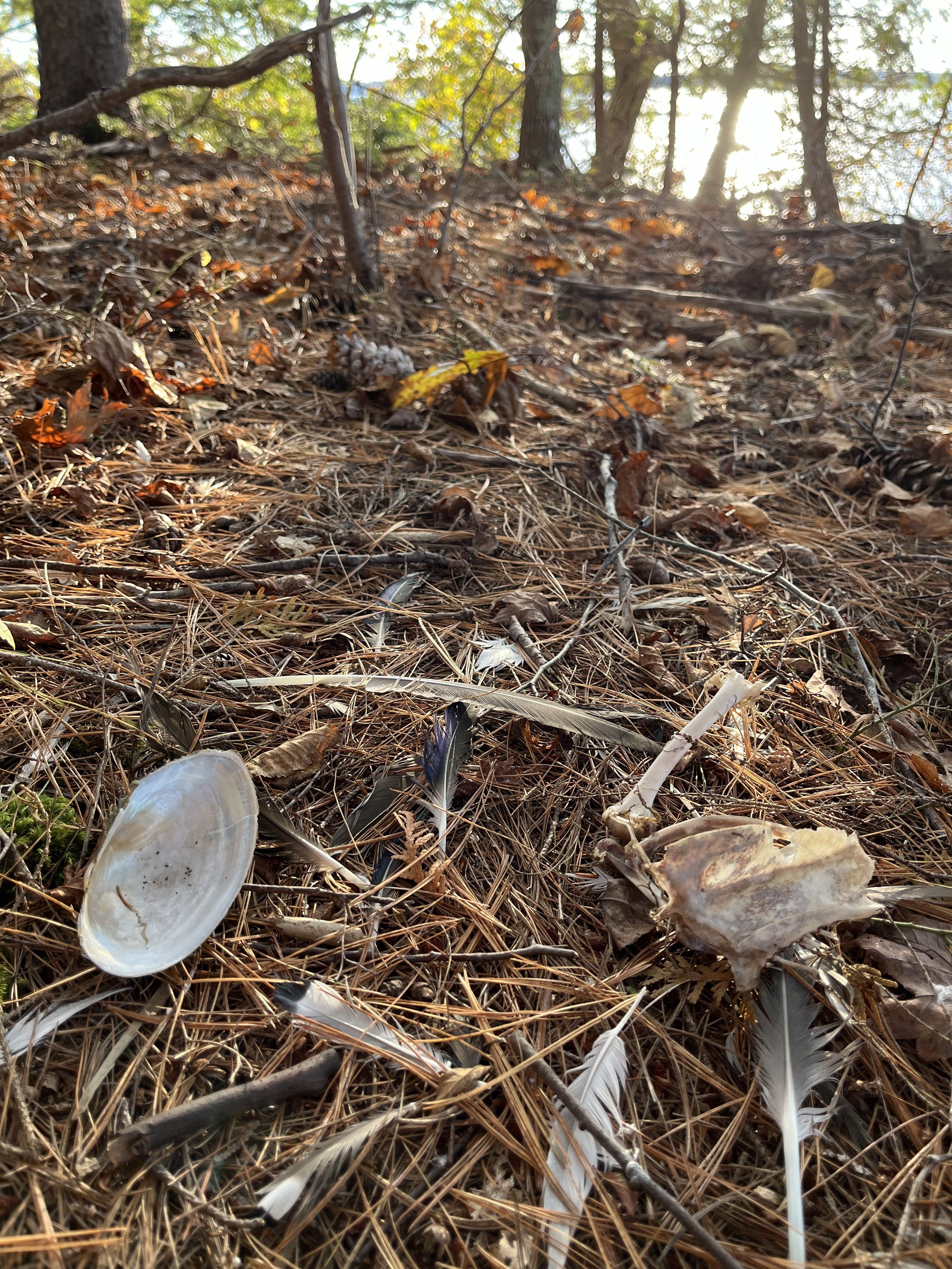
The interior of Brick Island is mostly forested; its canopy is dominated by Northern red oak, Eastern white pine, and American beech. The understory features Black huckleberry, Witch hazel, and serviceberry. The coastline of Brick Island has been known to provide habitat for the bald eagle, who may be found nesting in the island’s large White pines or hunting the surrounding waters of Merrymeeting Bay. The forested island also provides habitat for smaller birds such as the black capped chickadee and downy woodpecker, and mammals such as gray and red squirrels, chipmunks, and even racoons, who may prowl the intertidal zone (or campsites!) in search of freshwater shellfish and other food.
Camping is allowed only at the designated sites June through October, and campfires are only permitted within the established fire rings with a permit. Dogs are allowed on-leash, and hunting is allowed by permission as a continuation of the traditional uses of the island.
Center Point Preserve ~ Bowdoinham
22.5 acres, transferred to KELT in March 2023
Public trail and parking area open for use on Center Point Road.
It is hard to overstate our excitement about the conservation of Center Point Preserve! Designated as an Exemplary Natural Community by the Maine Natural Areas Program, Center Point Preserve protects tidal waterfowl and wading bird habitat, hosts eight species of rare, threatened and endangered plants, and offers unparalleled non-motorized recreational access to Merrymeeting Bay.
Ownership of Center Point Preserve was transferred to KELT from Maine Coast Heritage Trust in March. The conservation of this parcel adds to an extensive network of adjacent conserved lands, including:
133 acres directly adjacent to Center Point recently acquired by Maine Dept. of Inland Fisheries and Wildlife to be added to the Wildes Road Wildlife Management Area;
And nearby Marshfield Farm, upon which KELT holds a conservation easement.
Parking is located on the right of Center Point Road, preceding a closed gate. A one-mile hike along the remainder of Center Point Road (unpaved) passes through forest dominated by Eastern Hemlock, Red maple, White pine, Northern red oak, White oak, and the occasional White Cedar. Birding opportunities at the preserve abound: black-capped chickadee, brown creeper, and downy woodpecker are at home in the forest, and you may see bald eagles and migratory shorebirds from the trail that circumnavigates the point.
Center Point is open to the public dawn to dusk. Help us protect the scenic and ecological value of this preserve; biking is only allowed along Center Point Road, no camping or fires are permitted, dogs must be kept on leash, and no waste may be left on the preserve. Hunting allowed by permission. Please respect boundary signs and be respectful to our neighbors.
2022
Sewall Woods Extension ~ Bath
8 acres added to the 91-acre Sewall Woods Preserve, conserved in January 2022
Access to public trails and parking by Sewall Woods.
We were delighted to acquire this 8-acre parcel from the Bath Housing Authority in January 2022. In addition to protecting wildlife habitat and serving as a buffer between Sewall Woods Preserve and nearby development along High Street, this parcel strengthens our partnerships with local conservation organizations and contributes to two unique conservation projects beloved by the local community! Sewall Woods Extension significantly expands the boundary of Sewall Woods Preserve, a demonstration forest where habitat protection, recreation, and forest management coexist and complement each other. Additionally, the parcel allows for the expansion of the Whiskeag Trail, the popular five mile biking-and-hiking trail that runs along Whiskeag Creek from nearby Thorne Head Preserve to the YMCA in downtown Bath.
Funding sources for this parcel are varied and reflect its multifaceted community value; donations from the Merrymeeting Bay Trust, Maine Community Foundation, Maine Outdoor Heritage Fund, L.L. Bean Maine Land Trust Program & Maine Coast Heritage Trust all contributed to this conservation effort. Although no new trails are planned for the Extension, the parcel expands hunting opportunities in the area and can be accessed through the existing trails of Sewall Woods Preserve.
2021
Dunton Preserve at Meadow Pond ~ WESTPORT ISLAND
33 acres, conserved in December 2021, additional 21 acre parcel to be donated to KELT in early 2022
No public trails or parking area currently.
The Dunton Preserve at Meadow Pond, a 54-acre parcel on Westport Island, is named for the Dunton family who farmed the land that the preserve comprises from the mid-1700s to the late 1800s. This project is valuable for the diverse wetland and wildlife habitat it protects. There are recreational opportunities provided by an old logging road, currently maintained as a footpath, that heads south from Post Office Road through the entire property. Once KELT builds an official trail system and parking area, the preserve will allow for continued low impact recreation, including access to Meadow Pond itself for fishing, wildlife viewing, bird watching, hunting, and hiking.
With the acquisition of this land, in conjunction with the Carl and Barbara Segerstrom Preserve at Squam Creek, KELT now protects both headwaters of Squam Creek. This bodes well for the long-term ecological health of the watershed and all the plants, animals, and people that rely on it. In addition, the preserve will protect approximately 3,000 feet of undeveloped shoreline and more than 13 acres of one of the most ecologically significant freshwater wetland complexes on Westport Island, Meadow Pond (aka Anderson Bog).
This large wetland complex supports a variety of wading birds and waterfowl, as identified by the Maine Department of Inland Fisheries and Wildlife. In scientific terms, the complex is primarily a sweet gale mixed shrub fen. This type of shrubland, especially when near open water, is known to provide habitat for bird species such as the common yellowthroat, alder flycatcher, Wilson’s warbler, Lincoln’s sparrow, and the rare rusty blackbird. In addition, the preserve’s associated upland habitats, largely comprised of oak-pine forest, support wildlife like the ruffed grouse, wild turkey, and black bear, as well as a variety of forest songbirds.
Weber-Kelly Extension ~ GEORGETOWN
3.2 acres, conserved in March 2021
No public trails currently. Parking available via pre-existing Weber Kelly lot.
This 3.2-acre parcel packs a punch—an exciting addition to KELT’s conservation mosaic! It extends the Weber-Kelly Preserve, KELT’s first land owned in fee (1999), and this expansion has been an organizational goal for many years. In addition, the property has significant ecological significance as a freshwater forested wetland which directly abuts the Stone Wall Trail at the preserve.
The freshwater forested wetland on the property, in its more open areas, can be characterized as a Cattail Marsh. These marshes provide habitat for many wading birds and waterfowl, including rare species such as the least bittern, common moorhen, and American coot. Other birds commonly associated with cattail marshes include Virginia rails, red-winged blackbirds, and marsh wrens. The geography of the parcel gradually transitions to a closed wetland that has characteristics of both a Hemlock-Hardwood Pocket Swamp and a Red Maple Fen. Critically endangered amphibians like the spotted turtle and the Blanding’s turtle call Pocket Swamps home.
On a small scale, this 3.2-acre parcel acts as a barrier between human development to the north and the Weber-Kelly Preserve to the south. As an intact wetland, the new parcel will act as a natural filter and protect the pre-existing 105 acres of mixed woods and salt marsh from the impacts of nearby infrastructure.
The acquisition of this property would not have been possible without the support of Susie Westly Wren and Theo Holtwijk, the former landowners, who sold the land to KELT. When asked about the significance of this acquisition, they responded: “We were very enthusiastic about preserving this unique wetland and wildlife habitat, after noticing rare wildflowers there over the years. We are very pleased to have worked with KELT to make this addition to its already vibrant Weber-Kelly Preserve possible.”
2020
Trafton Meadow ~ Georgetown
56.5 acres, conserved in March 2020
No public trails or parking currently.
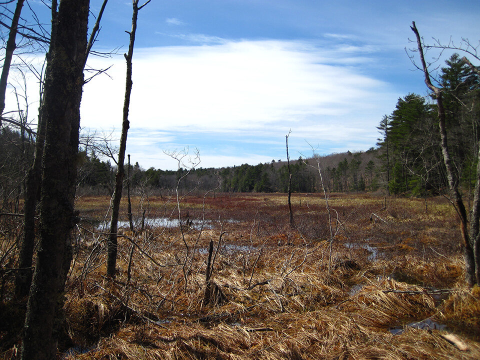
KELT was drawn to this property because of its significant wetland and upland habitat in addition to its proximity to nearby conserved land. With approximately 3,400 feet of frontage on Trafton Meadow, a freshwater wetland, the property provides homes for inland waterfowl and wading birds and native reptile species. The upland habitat has ridgelines that provide shelter and foraging areas for a variety of songbirds, mid-sized predators (e.g. fox and weasels), and other wildlife (e.g. deer, porcupines, and squirrels).
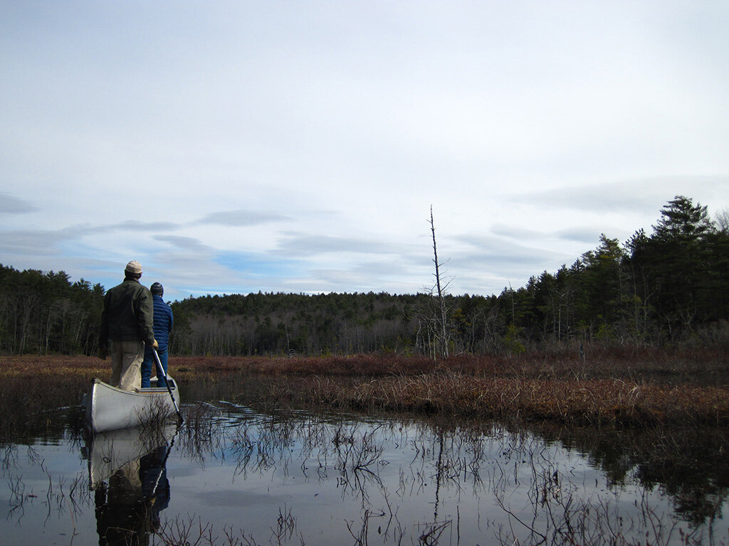
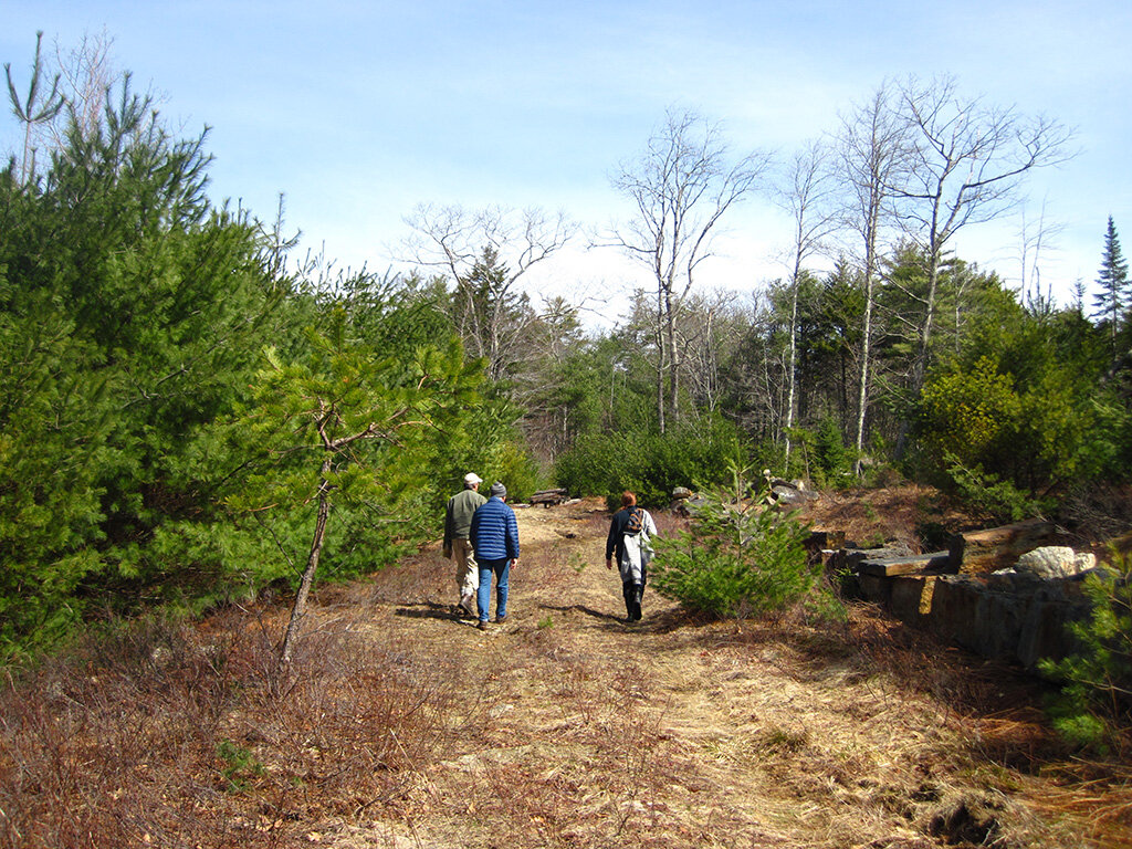
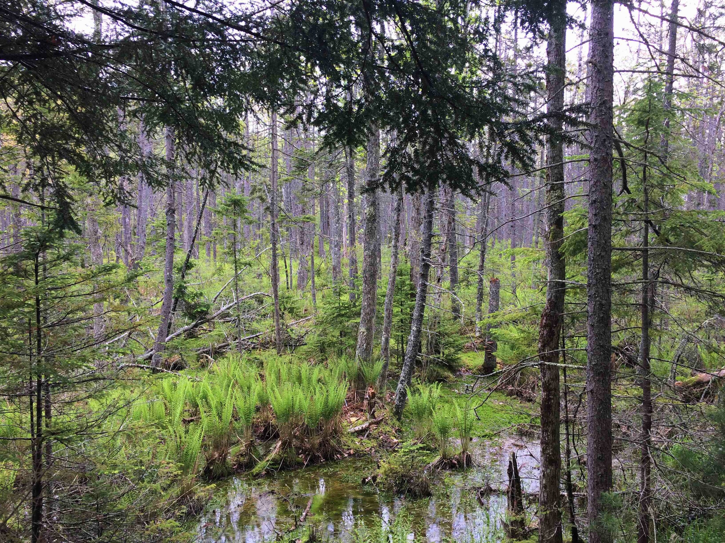
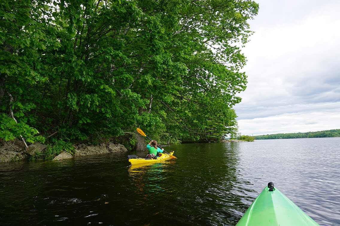
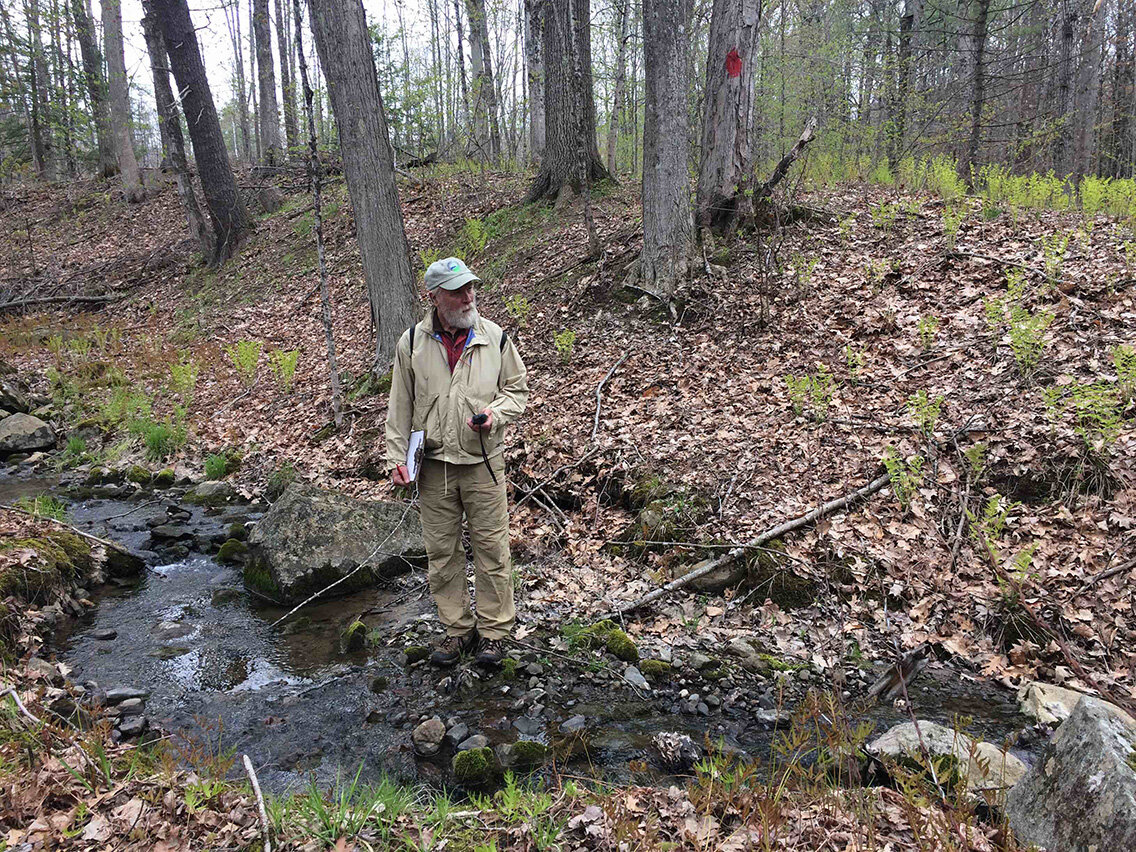
The ecology of this property includes pitch pine woodlands, forested and shrubby freshwater wetlands, and mixed upland forests. Selective tree cutting on the property approximately 8-10 years ago created open paths that are slowing growing in with new vegetation. When the water level is high in the marsh, it can be navigated by small non-motorized boats (e.g. kayak or canoe — see the photo on the right of KELT volunteer stewards during the a field visit to view and map the wetlands).
The property links to a conservation area overseen by Maine Dept. of Inland Fisheries and Wildlife and has proximity to the nearby Higgins Mountain Preserve.
Zorach Property ~ Georgetown
113 acres, conserved in December 2020
No public trails or parking currently.
The Zorach property has been on KELT’s conservation ‘wish list’ for over two decades. Our excitement about this parcel stems from its significant wildlife habitat (encompassing 50 acres of wetlands and 65 acres of upland forest) as well as its links to nearby conserved lands.
The property abuts 175 acres stewarded by the Maine Dept. of Inland Fisheries and Wildlife along the Back River, which in turn is contiguous with The Nature Conservancy’s 291-acre Flying Point Preserve to the north. Overall, the conservation of the Zorach property contributes to a 594-acre unfragmented block of habitat important to plants and wildlife. Protecting large blocks of habitat greatly benefit the plants and animals living there, especially in our changing climate.
The property is bisected by Flying Point Road. West of the road lies oak-pine forest, freshwater forested wetlands, and a tidal marsh ecosystem (a Maine Natural Areas Program exemplary natural community), composed of several saltmarsh habitat types. These wetlands are part of Georgetown’s Swett Marsh, which abuts the Back River west of the Zorach property. Three rare or threatened plant species are thought to inhabit this large marsh complex.
East of Flying Point Road, the Zorach property contains a 3-acre white pine plantation (planted by previous landowners) before entering a freshwater forested wetland. Near the eastern property boundary, the forested wetland transitions to a freshwater shrubby wetland. This portion of the Zorach property protects areas excellent for inland waterfowl and wading birds.
Rouse Island ~ Georgetown
13.7 acres, conserved in December 2020
No public trails.
Rouse Island, a 1.5 acre island in Todd’s Bay, is directly surrounded by ~13 acres of intertidal estuarine wetlands. The island is rocky with upland forest and shrubland, and the surrounding wetlands are made up of tidal marsh, rockweed beds, clam flats, and open intertidal and subtidal habitats. Surrounded by 300 acres of habitat for tidal waterfowl and wading birds (mapped by the Maine Dept. of Inland Fisheries and Wildlife), it also boasts 400 acres of softshell clam habitat (mapped by the Maine Dept. of Marine Resources).
The rockweed beds and mudflats surrounding Rouse Island have high ecological value as they provide significant habitat for native shellfish and fish species. An ecologist with the Maine Natural Areas Program identified a Spartina Saltmarsh and a provisional Rockweed Bed in the wetlands around the island.
With high value habitat, Rouse Island was conserved using funding from the Maine Natural Resource Conservation Program, a state funding source focused on enhancing and protecting high priority aquatic resources. By sustaining the ecological integrity of this island and its wetlands, KELT is hoping to help ensure a resilient future for local wildlife.
Vickery Property ~ Richmond
11 acres owned by KELT & 16 acres in easement, conserved in June 2020
Currently, no public trails or parking and shoreline access by water for day use only.
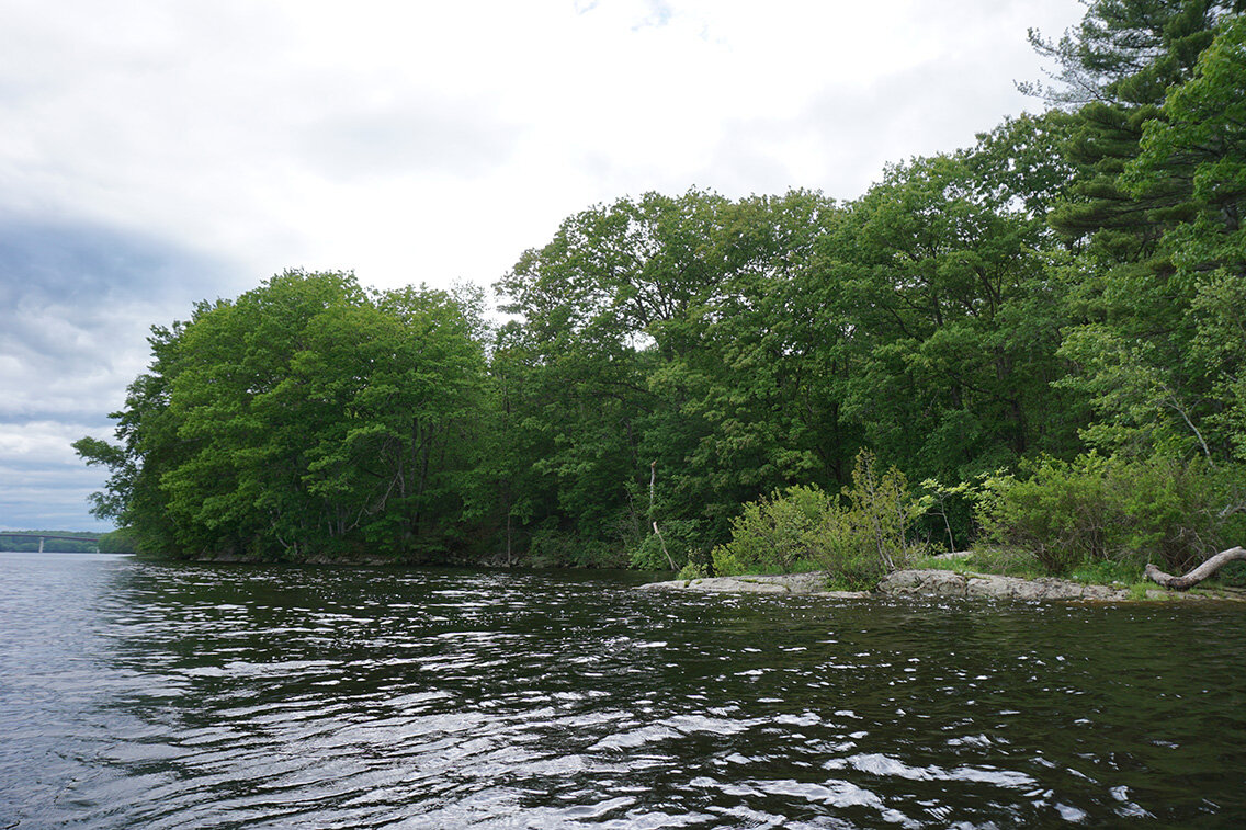
Barbara and Peter Vickery first began discussing protection of their property in 2002. Following Peter’s passing in 2017, Barbara, with the support of her two sons, continued to pursue this conservation effort with KELT. At the beginning of June, she conserved a portion of her upland property with a conservation easement and donated to KELT half a mile of river front and shoreland nestled between the old rail line and the Kennebec River.
“My family has been walking to our Kennebec shorefront at all seasons for 40 years,” said Barbara, “We’ve enjoyed watching Bald Eagles, and sturgeon, finding regular sign of otter on the shore, marveling at the ice floes in winter, the river flooding in spring, and the Cardinal Flower and gentians in summer. We’re glad to think others will be enjoying these things here for many years to come.”
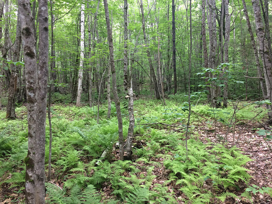
The two conserved properties together protect a total of 27 acres, including upland forest habitat with a mix of red oaks, white pines, white ash, red maples, American beech, and maple-leaf viburnum. Within the upland forest lie forested wetlands that support four species of ferns and a rich canopy of yellow birch, red maple, and green ash trees. A stream runs through the upland forest, providing a home for salamanders and other amphibians.
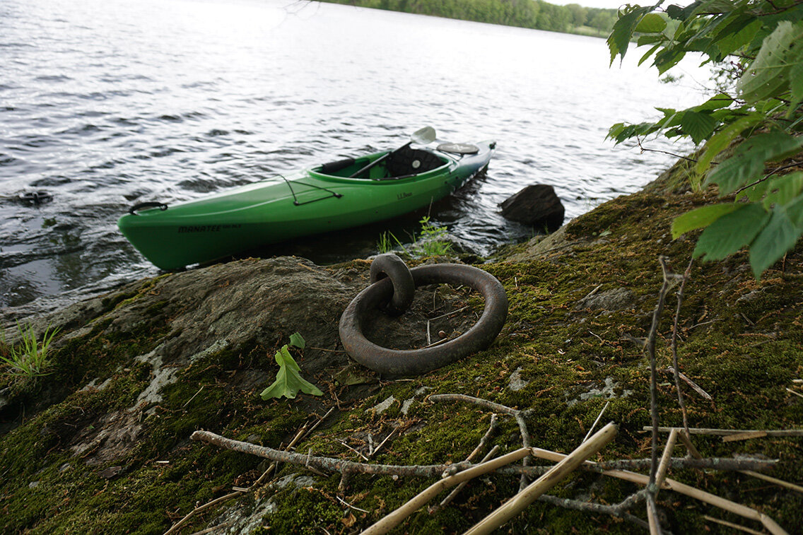
The 10-acre forest preserve with its scenic leafy shoreline along the Kennebec River has seen little activity since the height of ice harvesting in 1880s and 1890s. Relics of the land’s past use include the foundations of an icehouse and iron rings drilled into the rock once used by ice harvesters to tie up boats and barges.
These properties provide habitat for a range of wildlife, including Bald Eagles, otters, woodland songbirds, waterfowl, white-tailed deer, and porcupines. Portions of the shoreline are freshwater tidal marsh and at low tide, Cardinal flower, Joe Pye Weed, and less conspicuous rare estuarine plants are on display, highlighting this area’s connection to the rest of the waters within the Kennebec Estuary.
Whiskeag Creek Wetlands ~ Bath
22.5 acres, conserved in October 2020
No public trails or parking.
The Whiskeag Creek Wetland property, running along and into Whiskeag Creek and then into the Kennebec River, has been identified as important habitat for wading birds and fragile plant species. This property was acquired with funding from the North American Wetland Conservation Act and the land is primarily to maintain crucial habitat for sensitive species, particularly in the context of a changing climate.
Much of the property was cleared and used in agriculture, primarily for hay production, at some point in the past. There is a field that continues to be maintained and the upland forest is regenerating. There are 17.5 acres of wetlands supporting rich wildlife habitat. This property encompasses freshwater tidal marsh, freshwater scrub-shrub habitat, and a significant flowing stream.
Local real estate broker Sam Lambert, the previous landowner, purchased this property in 2017 to prevent a planned subdivision from diminishing the integrity of the landscape. Through conserving the land with KELT, Sam has demonstrated an understanding for the importance of protecting these special natural resources. “Things are changing. It’s important to save some of it to preserve the important links of habitat in our Estuaries. Long term visions are needed these days.” - Sam Lambert.
Burr Property ~ Bath
10 acres, conserved in October 2020
No public trails or parking currently.
By conserving these 10 acres, KELT has accomplished a crucial step in connecting the Lilly Pond Community Forest preserve to the Losier-Rogers property, which would protect a substantial block of Bath’s largest remaining intact forest. Connecting these conserved lands will maintain interconnected habitat for wildlife and create opportunity for a long-distance trail system to be enjoyed by hikers, bikers, birders, and more.
The property boasts upland forest (primarily oak and pine) and the western portion of the parcel is identified by the Maine Dept. of Inland Fisheries and Wildlife as deer wintering area. There are a few pocket swamps that serve as habitat and nurseries for amphibians.
The Burr property has a history of agriculture (as evidenced by stone walls), timber management, and boat building. The land was previously owned by Reuben S. Hunt from 1864 until his death in 1894. Along with the abutting property, Hunt managed the land from timber and was a lumberman and boat builder. He built the schooner Annie & Reuben (named for 2 of his children) on the property in 1891, selling it to the John I. Goss & Company of Deer Isle, which operated its Crotch Island quarry on Deer Isle. It primarily carried stone to Boston. She was later sold for the Cuban sugar trade but went ashore on a New Jersey beach in 1943. He also built the schooner Charles A. Hunt on the property in 1892.
John and Karen Burr, the generous donors of this land, also cited their devotion to future generations as their motivation for conservation, “The more we all have access to, to learn about and engage in our natural environment, the more we will all be invested in preserving its future – our future”.
